Bramhope Circular Walk
![]()
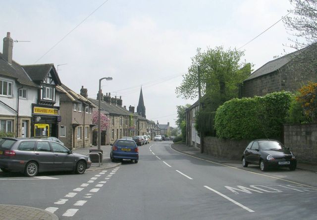
![]() This pretty Yorkshire village is located just to the north of Leeds city centre. It's an attractive village with some of the most expensive houses in the area.
This pretty Yorkshire village is located just to the north of Leeds city centre. It's an attractive village with some of the most expensive houses in the area.
This circular walk from the settlement visits two of the local highlights at Eccup Reservoir and the Golden Acre Park.
The walk starts in the village and follows footpaths east along the Ebor Way to Arthington Quarry and Bank Top Lane. At Bank Side you head south along the Dales Way to Bowshaws Ash Hill and Eccup Reservoir. There's a nice circular trail to follow around the lake and woodland here.
The walk then heads west along the Leeds Country Way to visit Golden Acre Park. There's well laid out footpaths taking you around lakes, woodland and gardens in this popular park on the outskirts of Leeds.
From the park you continue west to Crag Hill before turning north east past Bramhope Moor to return to the village.
To extend the walk head west along the Ebor Way to visit the popular Otley Chevin Country Park where you can enjoy fine views from the hill top at The Chevin.
Postcode
LS16 9BA - Please note: Postcode may be approximate for some rural locationsBramhope Circular Walk Ordnance Survey Map  - view and print off detailed OS map
Bramhope Circular Walk Open Street Map  - view and print off detailed map
Bramhope Circular Walk OS Map  - Mobile GPS OS Map with Location tracking
Bramhope Circular Walk Open Street Map  - Mobile GPS Map with Location tracking
Walks near Bramhope
- Eccup Reservoir - Enjoy an easy, waterside walk around this lovely reservoir near Leeds.
The walk begins in the car park on Stair Foot lane in Adel Woods and follows the Dales Way past Sand Moor golf course to the reservoir - Golden Acre Park - This delightful country park in Leeds has beautiful gardens, a lakeside walk, streams, ponds and peaceful woodland
- Meanwood Valley Trail - Follow the Meanwood Valley Trail from the city centre in Leeds to Golden Acre Park on this waymarked footpath
- Eccup Reservoir - Enjoy an easy, waterside walk around this lovely reservoir near Leeds.
The walk begins in the car park on Stair Foot lane in Adel Woods and follows the Dales Way past Sand Moor golf course to the reservoir - Harewood House - Explore the 100 acres of beautiful landscaped gardens surrounding this 18th century country house in Leeds
- Leeds Country Way - A super circular walk through the countryside surrounding this major Yorkshire city
- Roundhay Park - Explore 700 acres of parkland, lakes, woodland and gardens in one of the largest parks Britain
- East Keswick - This worthy village is located in West Yorkshire near the city of Leeds
- Otley Chevin Country Park - Enjoy cycling and walking trails in this super country park near Leeds
- Adel Woods - This walk explores Adel Woods on the northern side of the city of Leeds.
- Arthington Viaduct - This walk visits the Arthington Viaduct or Wharfedale Viaduct near Leeds in North Yorkshire.
Pubs/Cafes
Back in the village you can enjoy some post walk refreshment at the Fox and Hounds. The pub dates back to 1728 and serves good quality homemade food. There's also a spacious beer garden to the rear, along with a large private car park. You can find them at postcode LS16 9BA for your sat navs.
Dog Walking
The country and woodland trails on the route make for a fine dog walk. The Fox and Hounds mentioned above is also dog friendly.
Further Information and Other Local Ideas
Just to the north of the village you'll find the impressive Arthington Viaduct. The historic Grade II listed structure is well worth a visit with some nice walks along the River Wharfe to enjoy.
Photos
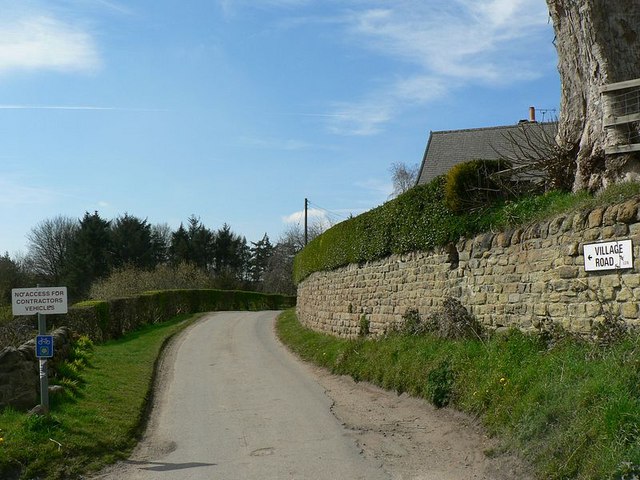
Bank Top Lane. Green Lane east of Bank Top Farm that has been adopted by the Ebor Way LDP, which stretches from Ilkley to Helmsley, forming a link between the Dales Way and the Cleveland Way.
Eccup Reservoir in spring. Looking towards the western end, from the corner near the site of Alwoodley Old Hall.


